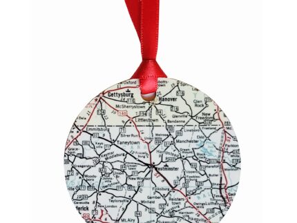

Carroll County Roads Map Potholder
This square potholder features a roads map of Carroll County, Maryland. A good portion of the region is shown from Gettysburg & Hanover Pennsylvania to the north, Howard County to the south, Baltimore County to the east and Frederick County to the west.
Approx. 7″ square – hand wash only, lay flat to dry. Vintage linen fabric with silver quilting on back. Includes a loop for hanging.